
Summit Neighbors by Nearby Parcel
The block around a Summit address is best researched by moving outward from a known parcel. A current map identifies adjoining parcels and their block and lot references. The Summit assessor records and Union County Clerk index can add owner or deed roles. Voter information is governed by a separate statute, and the local civic resources name organizations rather than household members. These sources can illuminate a block without creating a household roster.
| Source | What It Shows About a Block | Access |
|---|---|---|
| Union County GISWeb | Parcel geometry, public owner or address search, layers, and nearby parcel context. | Public map; its official domain should be verified at use time. |
| Summit tax query | Block, lot, account, street, and assessment route for a selected parcel. | Public query; documented owner-name search is not in the city form. |
| Union County Clerk index | Recorded parties, transfer details, and legal-description leads. | Online generally from June 1, 1977; Record Room holdings from 1857. |
| NJ voter route | Specific regulated registration check, not a public street roster. | Protected-person addresses are omitted under the governing rules. |
| Summit boards and commissions | Public civic and neighborhood-committee leads. | Not a membership directory or household list. |
An owner field can indicate a legal property relationship, not who occupies the property. A mailing address may belong to a trust, business, agent, attorney, or former correspondence address. Keep situs, mailing address, owner, and occupant as separate columns in a research note. The same rule applies when a map presents a name beside a parcel.
Union GIS for Summit Neighbors
The Union County GISWeb documents owner, parcel-number, address, subdivision, street-address, and street-name searches. It also lists map tools for cursor, select, identify, coordinates, street view, distance and area measurement, drawing, printing, scale, CSV export, and layer controls. Aerial choices include 2019, 2021, 2023, and 2025. The research found an official link using an nc.gov domain, so confirm the destination through an official county or city page before relying on it.
The official GISWeb parcel interface is shown below for a Summit neighbors search by address, owner, or parcel identifier.
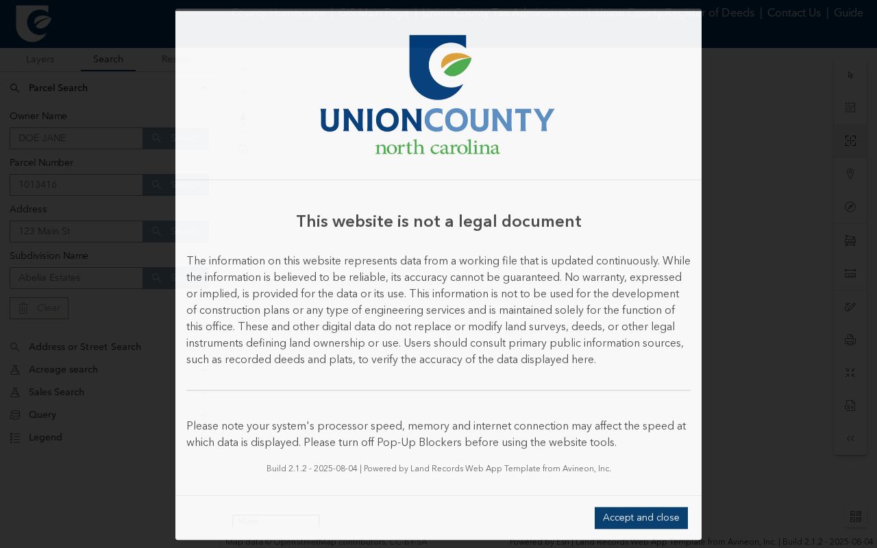
Use the map as a location tool, then record the parcel ID, block and lot, situs, map scale, aerial year, and access date before opening a tax or deed source.
GIS geometry is not a deed. Parcel lines can reflect tax mapping rather than the full boundary description, and an aerial image does not prove ownership, construction date, or occupancy. Pair a map result with the Clerk instrument and its legal description when a title-chain conclusion matters.
Note: Save the map date and layer choice because current GIS displays can change independently of fixed tax-map editions.
Map a Summit Block by Parcel
Move from one identified address to adjoining parcels, one at a time. The GIS tools make a radius guess unnecessary. Select or identify the subject parcel, record the block and lot, then use the adjacent map geometry to choose the next parcel. A buffer or measure control can describe distance, but proximity alone does not establish a personal relationship. This method keeps the work tied to public land records rather than a speculative list of Summit neighbors.
- Find the address in GISWeb and save the subject parcel's public identifier and map date.
- Select each immediately adjoining parcel and record its block, lot, situs, and any displayed owner field without inferring an occupant.
- Use the Summit tax query with the address, block and lot, account, or street route to compare the parcel data.
- When ownership history matters, search the named party in the Union County Clerk index and preserve the recorded instrument details.
For a full named-street chain rather than an immediate block, use the Summit Street Directory. That route follows address-keyed records along the street without treating the map as a household list.
Summit Tax Records and Neighbors
The documented Summit tax form searches by paired block and lot, qualifier, account number, or street. Street suffixes may need abbreviation or omission. A dedicated city owner-name search was not located in official sources, so begin with an address or parcel identifier instead of assuming a name search exists. Rutgers MOD-IV can supply statewide parcel data by year, municipality, block and lot, class, address, exemption, and assessor attributes, with CSV download controls.
For an official owner-and-address list, the Summit assessor's application supports a certified request by block. The documented charge is $11 with a map or $10 without one, and each block requires its own application and fee. The owner-list report distinguishes property location from mailing address. That distinction matters on a Summit block because mail may be sent away from the parcel.
- Parcel
- A mapped unit of land identified in assessment records, often by block and lot.
- Situs address
- The physical address label for a property, distinct from an owner's mailing address.
- Legal description
- The boundary language in the recorded instrument, which is stronger than a map line for title research.
Voter Context for Summit Neighbors
New Jersey does not provide a documented street-roster shortcut through the public registration check. Its specific search pattern uses first name, last name, and birth month and year, with a middle initial as a possible variation. The official portal returned a 403 response during automated inspection, so its unobserved live result fields are not asserted. A registration status is an election-administration fact, not proof of current occupancy on a Summit block.
N.J.S.A. 19:31-18 describes voter-list fields and omits signatures, while covered-person addresses are protected. The Union County Board of Elections supplies election-document request forms and handles voter-list questions. Its full-file delivery details beyond the statutory ceiling were not located in the reviewed sources, so ask the office for the current form and use restrictions.
Ward and election-district maps from the Summit maps hub are civic geography, not neighborhood membership records. A district can help orient a public request, but it does not identify residents of the block.
Summit Civic Links Near a Block
The local community layer is useful when it points to a public organization or historical resource, not when it is used to guess who belongs to a group. Summit's official boards and commissions include the Tatlock Neighborhood Committee, Community Programs Advisory Board, Board of Health, and Zoning Board. The community resource directory had alphabetical, category, and name search with 81 listings at inspection. Neither source is a citywide directory of neighborhood members.
| Public resource | Block-research use |
|---|---|
| Tatlock Neighborhood Committee and city boards | Names a civic place-based lead, not a roster of local people. |
| Community resource directory | Finds public civic, cultural, government, and service contacts by category or name. |
| 2025 community asset map | Provides organization names and geographic context, not attendance or household evidence. |
| 2022 nonprofit contact sheet | Supplies dated organization contacts that can anchor archive or newspaper searching. |
No complete citywide neighborhood-association or umbrella-HOA directory was located in the official sources. Do not create neighborhood boundaries from marketing pages or treat a club, congregation, or civic listing as evidence that a person lives nearby.
The official boards and commissions listing is shown below as a Summit neighbors civic-resource lead.
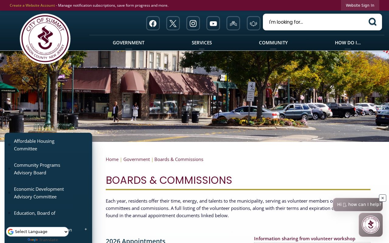
Use a public organization name to locate dated records or history, then describe the result as an organization connection unless the source expressly supports residence.
Historic Maps for Summit Neighbors
Historic block context needs its own evidence trail. Princeton's Summit Sanborn series includes 1893, 1898, 1903, 1921, and 1929 map editions. The maps can show street and building context at a fixed date, while city directories, deeds, and house files can add separate historical relationships. Summit's 1901 street-numbering ordinance and 1909 revision are a further caution: a familiar number may need historical map and directory checking before it is treated as continuous.
The Princeton Sanborn Summit index is shown below for a Summit neighbors search that needs historic street and block context.
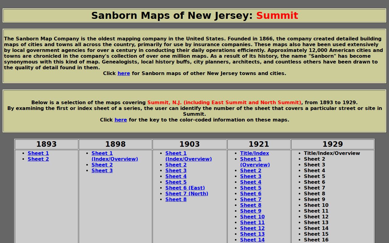
Record the map edition and sheet before comparing it with a modern parcel. If the target block is not covered, write that gap rather than extending the map beyond its sheet.
This geographic comparison can serve a human-use question about a historic home or place story. The Summit Historical Society holds house files, maps, directories, newspapers, and tax atlases, while the Public Library offers research help and scanning. A Society house file is an interpretive lead, not a substitute for the deed or tax-map record.
Official and Commercial Neighbor Records
Official records define their own scope and custodian. Commercial neighbor tools are compiled categories that may combine public filings, address history, marketing information, and inferred associations. They can be stale, merge people with the same name, omit protected people, and obscure where a field originated. Use a primary public record for the question at hand and do not treat a compiled result as a way around an official redaction.
| Source type | Best use | Boundary |
|---|---|---|
| Official parcel, tax, and deed records | Identify a property relationship and dated transaction. | Owner is not automatically an occupant; map geometry is not title evidence. |
| Official voter and civic records | Check a specific regulated record or public organization lead. | Protected addresses, non-public membership, and personal details remain out of scope. |
| Commercial compiled tools | At most, identify a lead that must be verified independently. | May be inaccurate, incomplete, or inconsistent with official suppressions. |
For a Summit block, fixed-date tax maps, the GIS access date, and the recorded legal description are a stronger comparison than a single undated compilation. That is especially important when lot lines, mailing addresses, or street numbers have changed.
Privacy for Summit Neighbor Research
Public parcel and permit records do not identify every household member, private occupant, utility customer, or delivery recipient. A deed mailing address may identify an agent, and DMV personal information is limited by the Driver Privacy Protection Act. New Jersey's Address Confidentiality Program provides a substitute address and mail forwarding for eligible people who relocate because of threat or violence. Do not reverse-geocode or republish that address.
Daniel's Law suppression protects covered judges, prosecutors, law-enforcement personnel, and their immediate family. The public voter framework also omits protected addresses. Redaction is part of the record. When a field is absent, preserve the restriction and turn to a different lawful source only if it answers a separate, permitted historical or property question.
Lawful use. Summit neighbors research is for personal, historical, civic, and property context. Never use a result to watch, stalk, harass, intimidate, or expose a protected person.
Summit Neighbors When Records Stop
When a map or search does not provide the needed public record, ask the custodian for an existing, defined record rather than a list of people. The City OPRA portal links municipal routes for permits, planning and zoning material, maps, and other basic records. A parcel request can seek an existing permit index, tax card, owner-list certificate, or planning application by block and lot with a bounded date range.
The Open Public Records Act, N.J.S.A. 47:1A-1 et seq., requires a written request to the proper custodian. The Union County form documents pickup, mail, onsite inspection, fax, and email choices as well as listed copy and special-service conditions. If a record is redacted, restricted, or not maintained, record that outcome. A no-result does not justify guessing at a household connection.
Note: Summit is in Union County while the county seat is Elizabeth, so a county record may require a different custodian from a city record.